
Het aandeel der Nederlanders in de ontdekking van Australië 1606–1765
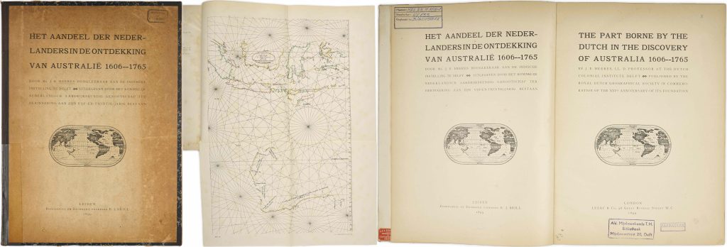
Jan Ernst Heeres was a Dutch historian of colonial and maritime history whose work helped bring Dutch archival sources on Australian discovery to a wider scholarly audience. Het aandeel der Nederlanders in de ontdekking van Australië 1606–1765, published with the English title The Part Borne by the Dutch in the Discovery of Australia 1606–1765, was issued in 1899 by the Royal Dutch Geographical Society to commemorate the twenty-fifth anniversary of its foundation. The book presents Dutch and English text in parallel and gathers documentary evidence for Dutch encounters with Australia from the voyage of the Duyfken in 1606 through later VOC exploration and mapping.
The work is especially significant for the study of early Dutch knowledge of Australia. It brings together accounts, archival extracts, and maps relating to Willem Jansz.’s voyage in the Duyfken, Dirk Hartog’s 1616 landfall, Jan Carstensz.’s voyage in the Pera and Arnhem, the discoveries associated with the Leeuwin, Pieter Nuyts, Gerrit Frederiksz. de Witt, and Abel Jansz. Tasman. Rather than treating Australia as a later British discovery, Heeres reconstructs the earlier Dutch contribution to the mapping and naming of the continent.
The volume also has a strong cartographic component. It includes illustrations, charts, and folding maps, and it helped make several key Dutch sources more accessible to later historians of Australian discovery. Its combination of documentary history and cartographic evidence makes it a useful reference point for understanding how places such as ’t Landt van d’Eendracht, Hollandia Nova, Van Diemens Landt, and Terra Australis were recorded, interpreted, and later historicised.
Within the collection, this book is closely connected with Dutch and Dutch-derived maps of Australia and the southern seas, especially Joan Blaeu’s Archipelagus Orientalis sive Asiaticus (76, 108, 121), Pieter Goos’s East Indies chart (307), Goos’s Pascaerte Vande Zuyd-Zee (466), and Goos’s double-hemisphere world map (115). These works show the kinds of Dutch voyage knowledge, VOC hydrography, and printed cartography later historicised by Heeres. It also relates more broadly to Hessel Gerritsz.’s world maps with the Quirós inscription (99and 101), which preserve an earlier European southern-continent framework against which Dutch discoveries in Australia and the Pacific were later understood.
Heeres, Jan Ernst (1858–1932)
Leiden: E. J. Brill; London: Luzac & Co., 1899
1899
Printed book with plates and folding maps
331