
Petermanns Geographische Mitteilungen: Australian Exploration Maps
August Heinrich Petermann was a German cartographer and geographical editor associated with the publishing house Justus Perthes in Gotha. Through Petermanns Geographische Mitteilungen, founded in 1855, he helped create one of the most important European forums for the rapid publication of geographical information, including reports and maps relating to exploration, colonial expansion, and scientific travel.
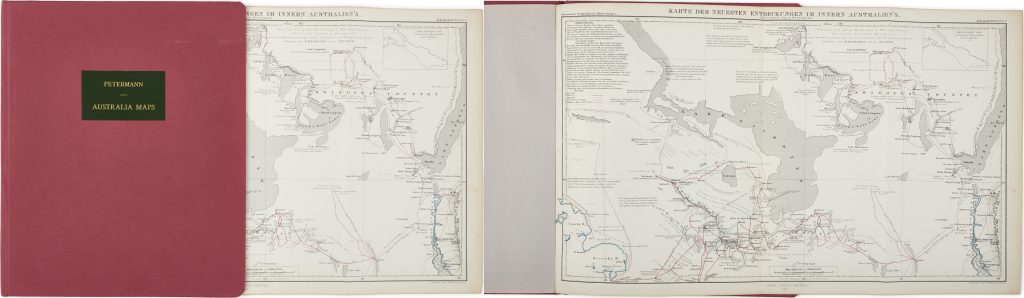
This volume appears to be a composite atlas of Australian maps drawn from Petermanns Geographische Mitteilungen, together with a two-part folded map of southern Australia stored in the rear sleeve. The maps in the volume, dated between 1859 and 1871, record more than a decade of inland exploration and geographical reporting.
The maps belong to a different publication context from official British colonial survey maps. They translate Australian exploration into German geographical print culture, presenting routes, rivers, lakes, settlements, and uncertain interior spaces for a European scholarly readership. The use of colour to distinguish routes and hydrographic features shows how the maps organised expeditionary information into a clear comparative form.
Within the collection, this Petermann group is closely connected with New South Wales and Australian exploration maps such as Oxley’s A Chart of Part of the Interior of New South Wales (166), Allan Cunningham’s exploration map (170), Thomas Livingstone Mitchell’s map of southeastern Australia and expedition routes (179), and Robert Dixon’s map of appropriated lands in New South Wales (267).
Petermann, August Heinrich (1822–1878)
Individual maps first published in Petermanns Geographische Mitteilungen, Gotha: Justus Perthes, 1859–1871.
1859–1871
Lithograph
330
R3 Uncommon - dealers can usually obtain a copy