
Voyage de découvertes aux terres australes
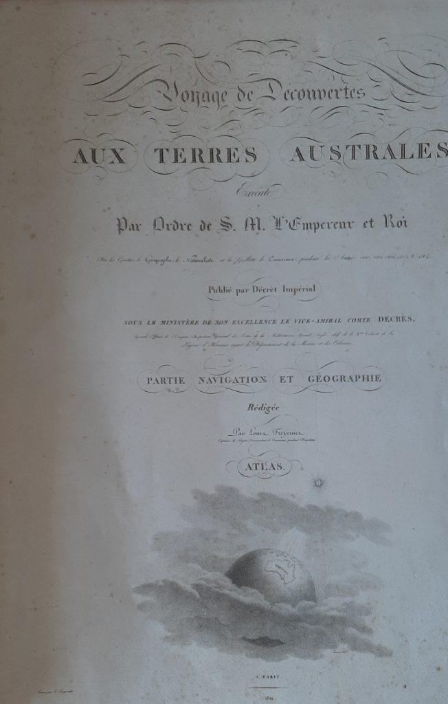
Louis Claude de Freycinet’s Partie navigation et géographie forms the hydrographic and geographical section of the official account of Nicolas Baudin’s expedition to the southern lands. Published in Paris by the Imprimerie impériale in 1812, it records the navigational results of the voyage undertaken by Le Géographe, Le Naturaliste, and the schooner Casuarina between 1800 and 1804.
The volume belongs to the larger publication history of the Voyage de découvertes aux terres australes. François Péron had begun the official account, but after his death in 1810 Freycinet assumed responsibility for the remaining narrative, navigation, and geography sections. His work gave formal published shape to the expedition’s hydrographic observations, coastal surveys, sailing directions, and geographical conclusions.
For the history of Australian cartography, the volume is especially significant because it supported the atlas maps of Nouvelle Hollande, Terre Napoléon, and the surrounding seas. These maps presented the Baudin expedition as a major French contribution to the mapping of Australia and the wider Indo-Pacific, even as British settlement and Flinders’s surveys increasingly shaped the accepted geography and nomenclature of the continent.
Within the collection, this volume is closely connected with Freycinet’s related maps and charts: the silk proof of the Asian archipelago (19), the 1808 proof of Carte de la Nouvelle Hollande (20), the 1811 published atlas issues (64and 168), the 1812 chart of Terre Napoléon (169), and the later reduced 1824 map (39).
Freycinet, Louis Claude (1779–1841)
Paris: Imprimerie impériale, 1812
1812, first
Paris: Arthus Bertrand, 1824, revised edition
Letterpress
263
R2 Very rare - one or two copies appear on the market