
World map
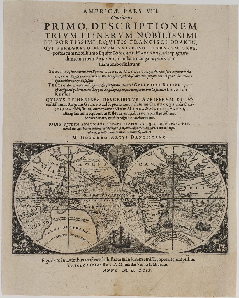
Theodor de Bry was a Liège-born engraver, publisher, and bookseller whose Frankfurt workshop became central to the European publication of illustrated voyage accounts. This engraved title page was issued by the de Bry firm in 1599 for India Occidentalis, part 8, which included accounts of the voyages of Sir Francis Drake, John Hawkins, Thomas Cavendish, and Sir Walter Raleigh.
The de Bry voyage collection, usually known as the Collectiones peregrinationum in Indiam Orientalem et Indiam Occidentalem, was one of the most influential illustrated travel compilations of the late sixteenth and early seventeenth centuries. Its India Occidentalis, or “Great Voyages, ” focused principally on the Americas, while India Orientalis, or “Small Voyages, ” dealt with Africa and Asia. The volumes were issued in Latin and German and were frequently reprinted. The title page incorporates a small world map showing the route of Francis Drake’s circumnavigation. The map is a reduction of Jodocus Hondius’s large broadside map of Drake’s voyage, first issued in the 1590s. At the top is a portrait of Drake, while his ship, the Golden Hind, appears below. The circumnavigation track is clearly marked, presenting the voyage as both a navigational achievement and a statement of English maritime ambition.
The geographical image combines observed coastlines with speculative features characteristic of late sixteenth-century world mapping. Parts of the far south remain uncertain, with a partial suggestion of Terra Australis, while the northern polar regions are also incompletely resolved. In this context, the world map functions as both an illustration of Drake’s route and a compact image of global navigation at the end of the sixteenth century. This title page is closely connected with other de Bry works in the collection, especially the India Orientalis maps relating to the first Dutch voyage to the East Indies (67, 68, and 104), and with the later de Bry map of Southeast Asia known as Mar di India (327). It also belongs with other engraved title pages in the collection, where cartographic imagery was used to frame travel, discovery, and imperial competition for European readers.
A red collection stamp appears on the verso in the upper right corner, reading "Lázár Tibor gyűjteménye Budapest Hungary, " indicating provenance from the collection of Tibor Lázár of Budapest.
De Bry, Theodor (1528–1598)
India Occidentalis, part 8, Frankfurt: de Bry, 1599
1599, first
Copperplate engraving
251
R2 Very rare - one or two copies appear on the market