
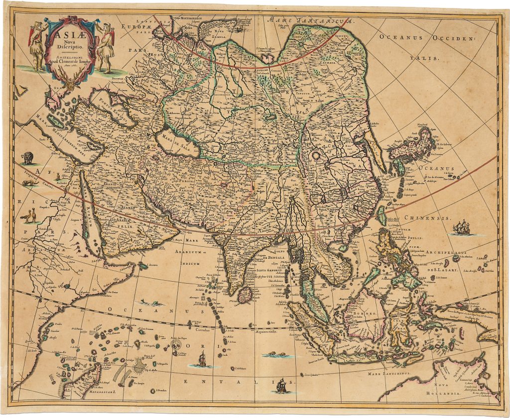
Asia Nova Delineata
Clement de Jonghe was an Amsterdam art dealer, print seller, and map publisher active in the middle decades of the seventeenth century.
Born in northern Germany, he moved to Amsterdam around 1643 and built a substantial business in prints, maps, and copperplates.
His shop in the Kalverstraat was known as De Gekroonde Konst- en Kaart Winckel, or “The Crowned Art and Map Shop.”
This map was issued by De Jonghe in Amsterdam in 1661, as stated in the cartouche at upper left: Amstelodami Apud Clemente de Ionghe anno 1661.
It represents the earliest known state of a plate later reissued by Carel Allard in 1679.
Until this earlier De Jonghe state was identified, the map was known only through the later Allard state, recorded in a single institutional example in the National Library of Australia.
The map presents Asia from the eastern Mediterranean and Arabia to China, Japan, Southeast Asia, the East Indies, and the western Pacific, with part of Nova Hollandia shown at lower right.
Its dense network of place names, rivers, mountain ranges, islands, and sea routes reflects the accumulated European mapping of Asia by the mid-seventeenth century, shaped by Portuguese, Spanish, Dutch, and Jesuit sources.
The map is especially significant for its early printed representation of discoveries from Abel Tasman’s second voyage of 1643–1644, including the northern coastline of Australia.
At lower right, Nova Hollandia appears with Dutch discoveries along the northern and western coasts, showing how VOC exploratory knowledge was incorporated into printed commercial cartography soon after it entered Dutch mapmaking.
Within the collection, this map is closely connected with De Jonghe’s business-card print De Gekroonde Konst en Kaart Winckel / Batavia (441), which shows the Amsterdam commercial setting in which maps and prints circulated.
It also relates to Jodocus Hondius I’s Asiae nova descriptio (253), an earlier Dutch atlas treatment of Asia that provides a useful comparison for the development of printed Asian geography.
Jonghe, Clement de (1624/25–1677)
Separate publication.
Amsterdam: Clement de Jonghe, 1661
1661, first
1679, later reissue with the imprint of Carel Allard
Copperplate engraving
473
Only copy