
Tasman's Kaart van zijn Australische Ontdekkingen 1644 ("De Bonaparte-kaart")
Frederik Caspar Wieder was a Dutch geographer, historian of cartography, and specialist in the history of Dutch exploration. His research on VOC voyages, early Australian cartography, and the mapping of the Pacific helped make important Dutch manuscript sources available to twentieth-century scholars. Among his most influential works were studies of the maps associated with Abel Tasman's voyages and the Dutch discovery of Australia.
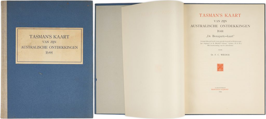
Published in The Hague in 1942, this work reproduces and analyses the so-called Bonaparte Map, one of the most important surviving manuscript charts relating to Abel Tasman's voyages of 1642–44. Preserved in the Mitchell Library, Sydney, the map records Dutch geographical knowledge of Australia, Tasmania, New Guinea, and parts of the Pacific shortly after Tasman's voyages and provides one of the earliest cartographic syntheses of Dutch discoveries in the southern hemisphere (see # link).
The Bonaparte Map occupies a central place in the history of Australian cartography because it incorporates information from numerous Dutch voyages, including those of Willem Jansz., Dirk Hartog, Pieter Nuyts, François Thijssen, and Abel Tasman. It documents the gradual emergence of New Holland on European maps and the replacement of speculative southern continental geography with coastlines derived from exploration and navigation.
Wieder, F. C. (1874–1943)
The Hague ('s-Gravenhage): Martinus Nijhoff, 1942
1942
Letterpress
245