
Oostelyk gedeelte van Amsterdam, van het Y te zien / Amsterdam vers le point de l’Est, prèsè du Ty
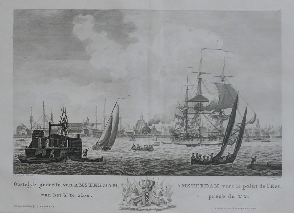
Mathias de Sallieth was a Prague-born engraver active in the Netherlands, where he produced topographical views, portraits, historical prints, and book illustrations. This view was engraved by de Sallieth after a drawing by Dirk de Jong and first published in Amsterdam by Pieter Yver, Johannes Smit & Zoon, and Frederik Willem Greebe between 1780 and 1787. This later state was used in Cornelis van der Aa’s Atlas van de zeehavens der Bataafsche Republiek, published by Evert Maaskamp in Amsterdam in 1805. This impression is numbered “6” at upper right, indicating its use within a numbered series or atlas context.
The print shows the eastern part of Amsterdam from the IJ, the broad waterway that linked the city to the Zuiderzee and to wider maritime routes. The bilingual Dutch and French title reflects the international market for Amsterdam views. In the foreground, boats and larger vessels move across the water, while the city appears behind them with warehouses, quays, church towers, and waterfront buildings.
Although this is a city view rather than a map, it is closely connected to the maritime geography of Amsterdam. The scene presents the city from the water, emphasising the harbour, shipping, and commercial waterfront that supported Amsterdam’s role as a centre of trade, publishing, and navigation.
Sallieth, Mathias de (1749–1791)
Vaderlandsche gezigten, Amsterdam: Pieter Yver, Johannes Smit & Zoon, and Frederik Willem Greebe, 1780–1787
1805
Copperplate engraving
215