
Atlas of the Settled Counties of New South Wales
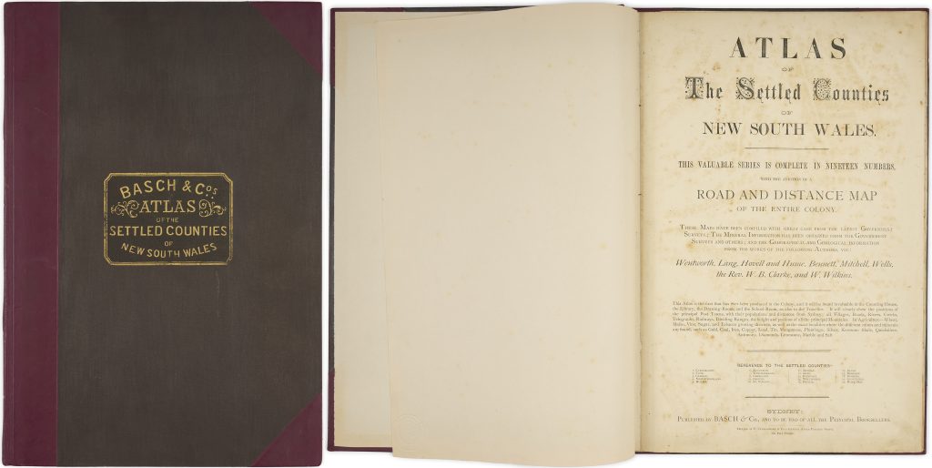
This atlas was published in Sydney by Basch & Co. in 1872. The maps were drawn by George Bishop while he was a draftsman in the Surveyor-General’s Office between 1866 and 1870.
The atlas comprises twenty colour maps, including a folded general map, and documents the settled counties of New South Wales in the later nineteenth century. It records principal postal towns, villages, roads, rivers, creeks, telegraph lines, railways, dividing ranges, mountains, agricultural information, mines, and mineral deposits.
The atlas presents New South Wales as an increasingly surveyed, administered, and connected colony. Its attention to roads, telegraphs, railways, and postal towns reflects the infrastructure through which settlement expanded and government authority was organised.
John Ferguson noted the atlas as a landmark in colonial cartography. Its value lies not only in its county maps, but in the way it brings together administrative geography, transport networks, agricultural data, and mineral information at a moment of economic and infrastructural development.
Basch & Co
Atlas of the Settled Counties of New South Wales, Sydney: Basch & Co., 1872
1872, first
Lithograph
437