
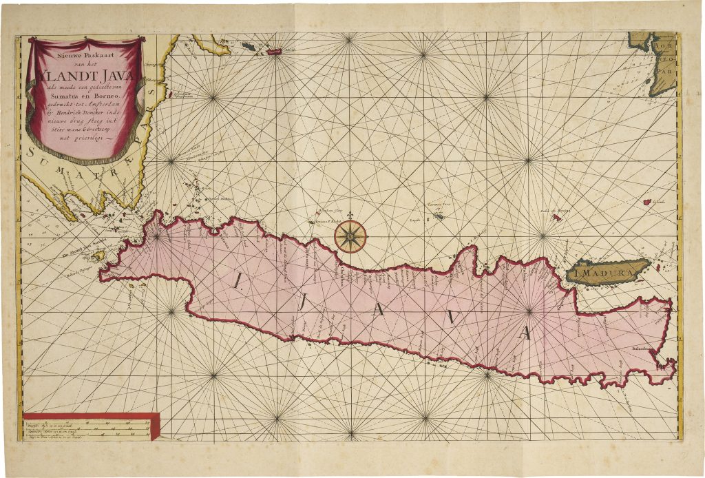
Nieuwe Paskaart van het Ylandt Java als meede een gedeelte van Sumatra en Borneo
Hendrick Doncker II was the son of the Amsterdam chartmaker and publisher Hendrick Doncker, whose sea atlases had been central to Dutch maritime publishing in the second half of the seventeenth century. After Doncker senior sold his copperplates and stock to Johannes van Keulen in 1693, his son issued a new sea atlas in 1705 using newly prepared charts. This chart of Java, with parts of Sumatra and Borneo, belongs to that later Doncker II publishing venture and should be distinguished from the earlier plates associated with his father.
The chart focuses on Java and the surrounding waters, with parts of Sumatra and Borneo shown at the edges of the sheet. Batavia, the principal VOC centre in Asia, is marked on the northwest coast of Java near the Sunda Strait, one of the most important maritime passages between the Indian Ocean and the Java Sea. Madura appears off Java’s northeast coast, while the chart’s coastal names, shoals, soundings, rhumb lines, and anchorages show its practical purpose as a sea chart.
Java’s position made it central to VOC navigation, trade, and administration. Ships moving between the Cape route, the Sunda Strait, Batavia, and the wider Indonesian archipelago depended on accurate coastal and hydrographic information. Doncker II’s chart translates that navigational knowledge into printed form, presenting Java not simply as an island, but as the centre of a working maritime network linking Sumatra, Borneo, the Java Sea, and the approaches to the East Indies.
Within the collection, this chart is closely connected with van Keulen’s charts of Java (261), issued in the Nieuwe Lichtende Zee-Fakkel from the 1680s, and Samuel Dunn’s later chart of the Sunda Strait (419), which shows the continuing importance of the passage between Sumatra and Java for European navigation. It also relates to the earlier printed mapping of Southeast Asia in the Linschoten group, especially the map of Southeast Asia (74) and the wider Asia and Indian Ocean map (254). Together, these works show how European geographical knowledge of the region developed from late sixteenth-century compilation to practical Dutch and English sea-chart production, and how Amsterdam chart publishing was reshaped by the Doncker–van Keulen relationship around 1700.
Doncker, Hendrick II (1664–1739)
Amsterdam, 1705
1705, first
Copperplate engraving
422
Only copy